
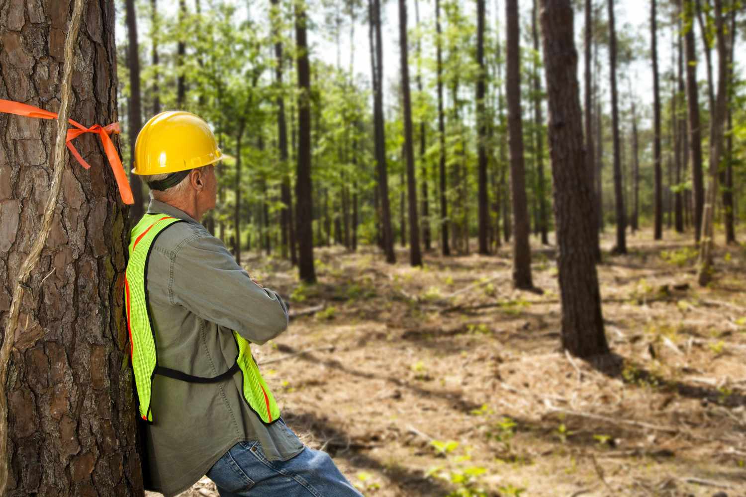
Foresters, navigators, and surveyors rely on different tools to perform their tasks (e.g., measuring land features, angles, and distances). These tools, such as the brass sextant and clinometer forestry, must be precise and accurate primarily to obtain correct data on the land concerned.
They provide the essential information professionals need to interpret to arrive at sound decisions and make professional opinions that best serve their client’s interests.
Accuracy refers to how close the measurement taken is to the actual value. Precision, on the other hand, is about how close multiple measurements are to each other. Forestry, navigating, and surveying tools need to ensure both.
You can do so by buying or renting your devices from reputable suppliers. You must also subject them to periodic calibrating services and hire repair services for surveying equipment to address the issues with accuracy and precision.
Common Forestry, Navigators, And Surveyors Tools
If you’re working in the field of forestry and surveying, here are some of the tools that should be kept accurate and precise.
Compass. A compass measures the horizontal angles and bearing of a line of sight. Foresters also use a compass — a lightweight device with a rectangular baseplate and a graduated dial — to perform common forestry tasks.
Clinometer. Also called an inclinometer, this is a device for measuring ground slopes. Clinometer forestry is a tool that can be used to calculate the height of trees.
Densiometers. Foresters use this type of handheld device to gauge the spaces between trees. This is essential in estimating and studying the density of a forest — or any other area with trees.
Global Positioning Systems (GPS). People use GPS to identify a location. In forestry, this handheld tool can also be utilized to create detailed maps of an area.
Increment borers. Foresters are also involved in knowing various wood properties and tree-related data, including age and growth rate. They rely on an increment borer to do just that. Because they only need to remove a portion of wood or tree, they will only leave minimal damage.
Soil probes and test kits. Apart from identifying wood properties, foresters also have to study soil. They need soil samplers to collect soil from the ground and study different elements, like the minerals present in the soil.
Measuring chains and tapes. Professionals use rulers, tapes, laser devices, and scanners to measure distances and angles.
Precision levels. Precision box levels are used to adjust and check vertical and horizontal surfaces and shafts. Meanwhile, Abney levels are made to topographic elevation.
Protractors. These devices act as precision levels that can be used for various surveying tasks. Surveyors count on a propeller protractor, for instance, to measure angles between two planes or among multiple numbers of planes.
Sextants. A brass sextant is an essential tool for navigation. It measures the angle between a visible object and the horizon. Sailors in the past used it to determine their ship’s location at sea.
Magnetic locators. These are used to locate objects (for example, underground tanks and pipes) that foresters and surveyors won’t easily identify with regular tools.


